Naver’s map service, in addition to offer a Google-like street view, offers something called “airplane view,” which is essentially these panoramic views of Korea from the air. I’ve known about it for a while, but never really thought much about it. I guess I just assumed they were just doing typical air routes for normal planes. I saw a nice one for Haeundae Beach in Busan, but for Seoul? Seoul typically is a nightmare for aerial filming (because of security regulations related to the North), so I just assumed you would not have anything interesting.
Dumb me, apparently.
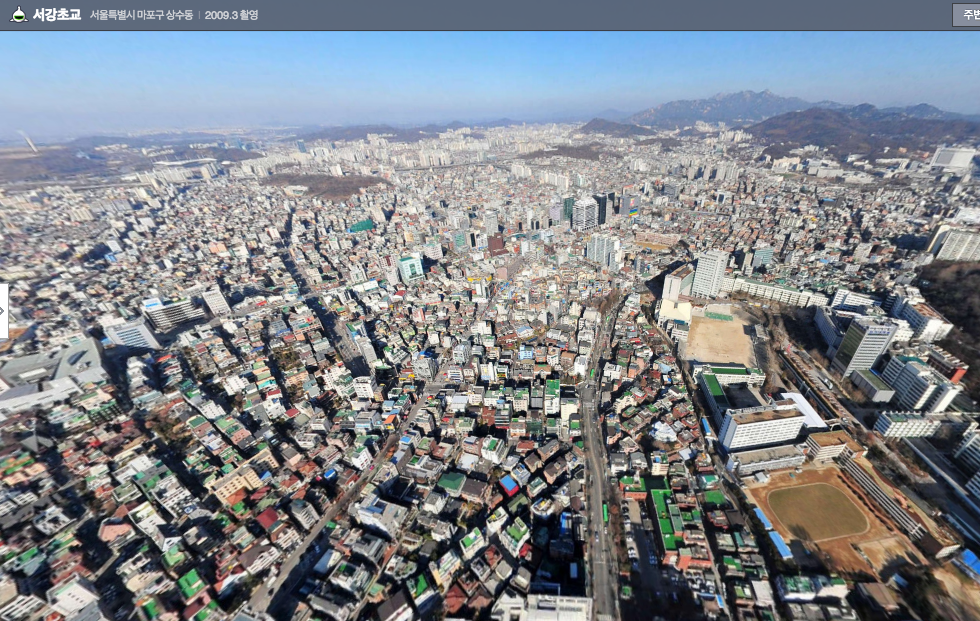
I was looking for something in Hongdae on Naver Maps the other day, when I happened to hit the button for Airplane view, and, wow, there were some excellent views. Like this one, from over about Sangsu Subway Station, looking north:

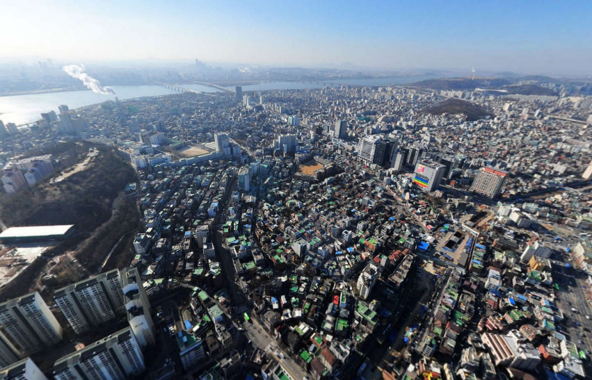
And this is from Shinchon, looking south over Hongdae.

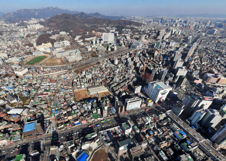
And here’s one looking north to Shinchon, with Yonsei University on the hil in the background:

The photos were apparently taken in 2009, so a few things have changed since then, but they still give you an interesting taste of my favorite Seoul neighborhood.


Leave a Reply